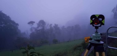
Level and Feature Survey
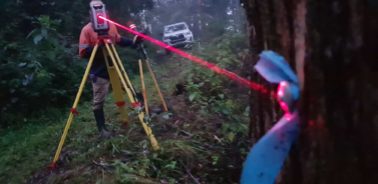
Contour and Detail Survey
The contour and detail survey serves the purpose of revealing the current topographical characteristics of a specific site. This information is typically represented through contour lines on a site plan, and it additionally encompasses spot elevations. These spot elevations serve as valuable reference points for future consultations with various professionals, tradespeople, and contractors involved in the project. If needed, the existing topography can be established in accordance with the Australian Height Datum (AHD). This AHD data is essential in cases where certification is mandatory for the project. Furthermore, it aids designers and engineers in making informed decisions regarding the specific design requirements necessary for the project’s success.
Boundary Identification Survey
Boundary Identification surveys confirm the boundary line of your property and identify any restrictions you need to be aware of. A cadastral surveyor will compare historical records with recent survey information to accurately determine the boundaries of your new property. The process requires time and expertise, so choosing the right surveyors is vital. It’s important that any surveying work undertaken across South East Queensland is carried out by experienced, professional surveyors. All of our team at ONF Surveyors are fully qualified, with decades of experience. We pride ourselves on our reputation for exceptional customer service and we can work with you to create a cost-effective and thorough survey. A boundary survey will also include research from local records as well as measurements out in the field to cross-reference them so you know your boundary survey is as accurate as possible.