In the world of property, understanding the exact boundaries is crucial. ONF Surveyors, based in Kingaroy, stands as a beacon of expertise in property, boundary, and residential surveying. This article aims to dissect the key components of a Boundary Identification Survey, shedding light on the meticulous process undertaken by surveyors to provide clients with accurate and actionable insights.
Research and Documentation:
A Boundary Identification Survey begins with extensive research. Surveyors delve into historical records, deeds, and previous surveys related to the property. This information lays the groundwork for the survey and helps establish a comprehensive understanding of the property’s history and boundaries.
Fieldwork and Measurements:
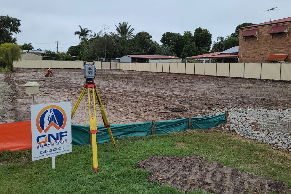
Once armed with historical insights, surveyors take to the field equipped with cutting-edge tools. Total stations and GPS technology are employed to measure and map the physical boundaries of the property. Every detail, from property corners to existing structures, is meticulously documented to ensure the accuracy of the survey.
Boundary Markers and Identification:
During the fieldwork, surveyors identify and mark key boundary points. Physical markers, such as stakes or pins, are placed to precisely indicate the boundaries. This process not only aids in the visual identification of property lines but also serves as a reference for future assessments or land improvements.
Land Contour Mapping:
Understanding the topography of the land is integral to a comprehensive Boundary Identification Survey. Surveyors utilise advanced mapping techniques to create detailed land contour maps. This information is invaluable for land use planning, construction projects, and assessing the overall usability of the property.
Easement and Covenant Assessment:
A Boundary Identification Survey goes beyond mere property lines; it also includes an assessment of easements and covenants. Surveyors identify and document any existing easements or restrictions on the property. This information is crucial for property owners, ensuring they are aware of any limitations on land use.

Survey Plan Compilation:
All the data collected during the survey is compiled into a detailed survey plan. This plan includes accurate measurements, boundary markers, and any relevant information discovered during the survey. The survey plan serves as a legal document, providing a clear representation of the property’s boundaries.
Client Consultation and Explanation:
At ONF Surveyors, we understand the importance of clear communication. After completing the survey, our team engages in a thorough consultation with the client. We explain the findings, address any questions or concerns, and ensure that the client has a comprehensive understanding of their property boundaries.
Contact Us
A Boundary Identification Survey by ONF Surveyors is a meticulous process that combines historical research, precise fieldwork, and detailed documentation to provide clients with accurate insights into their property. If you’re seeking clarity on your property boundaries, contact us at 07 4162 2647 or visit our website here. Conveniently located at Shop 3 Circular Pl, Kingaroy, and Unit 4b, 32 Aerodrome Rd, Maroochydore, our expert team is ready to guide you through the intricacies of boundary identification.