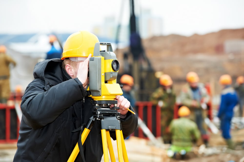
What Is Laser Scanning In Surveying?
In the modern surveying industry, laser scanning is a powerful tool used to capture data and understand the physical characteristics of any given space. Despite its introduction in the 1960s, laser scanning was not popularised until the 90s, when the technology was adopted by surveyors and engineers. At ONF Surveyors, we use laser scanning technology to quickly and accurately model any environment, from acreage properties to delicate historic buildings.

What Is Laser Scanning?
Laser scanning is an advanced technology that uses lasers to measure distances between objects or points in space. The data collected from these measurements are then used to create highly accurate 3D representations of physical features, when manual methods are not appropriate. This data can be used for various types of surveying applications, including construction, engineering, mining and more.
How Does It Work?
The laser scanner emits pulses of light in a 360-degree circle around its location. These pulses are then reflected off surrounding surfaces and measured by the scanner’s receiver. This process generates millions of 3D points that are combined to form detailed maps and models of the scanned area. Utilising CAD software programs to analyse and process the data, laser scanning provides highly accurate and a large amount of data on the size, shape and position of objects in a given space.
Additionally, laser scanners can be mounted on mobile platforms like cars or robots to quickly capture data from large areas or inaccessible spaces. When combined with drones, laser scanning can be used to create highly detailed, accurate maps and models of larger landscapes and infrastructure.
Advantages Of Laser Scanning
First, it’s incredibly fast; a single scan can generate millions of points in just minutes. Additionally, it’s extremely precise; scans can render measurements with accuracy levels of up to 1mm! Finally, laser scanners are non-invasive; they don’t require physical contact with the object being surveyed, making them perfect for use on sensitive sites like historic buildings or fragile ecosystems.
Laser scanning is an invaluable tool for surveyors who need accurate data quickly and without disruption to existing structures or ecosystems. By sending out pulses of light at high speeds in all directions, laser scanners can quickly compile millions of 3D points into detailed maps and models with remarkable precision levels—allowing surveyors to get their job done faster than ever before!
At ONF Surveyors, we take pride in utilising the latest software and scanning technology when the use of this technology is appropriate for the required outcome. By staying abreast of industry innovations, we provide our clients with the comprehensive, accurate data they need. Whether you require large scale contour surveys, surveying for construction projects, subdivision design, boundary identification surveys, subdivision and boundary realignment surveys or something else, we have the experience, skills, and technology to get the job done right. Contact us today to discuss your surveying needs and to see if laser scanning technology can benefit your project!

